Bluesky Announces Online Flood Risk Map of the UK
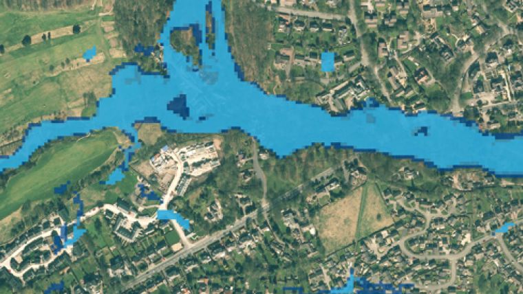
A groundwater flood risk map of the UK is being made widely available for the first time. Created by JBA Consulting and available online from aerial mapping company Bluesky, the map is designed to help home owners, developers and risk management authorities understand the threat of groundwater flooding. The new colour coded hazard map is easy to use and complements other flood maps and geographic datasets already available from the Bluesky Mapshop.
With the cost to properties estimated to be annually over £500 million, groundwater flooding is a growing threat as the UK is expected to experience considerably higher levels of rainfall as a result of climate change. Groundwater flooding is caused by unusually high groundwater levels, in most cases following periods of prolonged rain. It occurs when the water table in permeable rock rises to enter basements and cellars or presents as excess water emerging at the ground surface. Groundwater levels are generally highest in early spring, and the resulting flooding can pose considerable economic and social threat.
“Groundwater flooding tends to be more persistent than surface water flooding and can result in significant damage to property,” commented Rachel Tidmarsh, Managing Director of aerial mapping company Bluesky. “As weather events become more severe and rainfall levels rise, so, therefore, does the threat of groundwater flooding.”
The map covering England, Wales and Scotland was created using a range of data, including known locations of past groundwater flooding events, rainfall measurements and aquifer properties, the new map provides classification of hazards on a 50 metre grid using a simple traffic-light system. A three tiered methodology, used to create the map, allows for quick and efficient updates and refining of the map for local areas of particular interest.
“These maps will support flood risk management activities at a national or local scale, and will assist risk management authorities in meeting their responsibilities under the Flood and Water Management Act,” added Dr Maxine Zaidman, Technical Director for Hydrology and Hyrdometry at JBA Consulting.
The Flood Map is now available to download from www.blueskymapshop.com. Other flood related map layers are also available.

Value staying current with geomatics?
Stay on the map with our expertly curated newsletters.
We provide educational insights, industry updates, and inspiring stories to help you learn, grow, and reach your full potential in your field. Don't miss out - subscribe today and ensure you're always informed, educated, and inspired.
Choose your newsletter(s)


