Bluesky Tree Map Used for Allergenic Pollen Producing Plants Map
A map of over 280 million trees nationwide has been used to create the first high resolution maps of allergenic plants and trees of Great Britain. Detailing the location of key plants and trees known to produce pollen that can trigger allergies and asthma, the maps were produced, using Bluesky’s National Tree Map data at the University of Exeter in collaboration with the Met Office. The maps are designed to help acute hay fever or asthma suffers make informed decisions regarding their condition and give medics a greater insight into the impact of air pollution on asthma and other conditions.
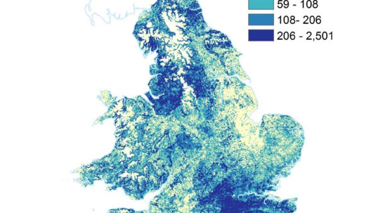
The Bluesky National Tree Map (NTM) identifies the location of more than 280 million trees nationwide, detailing their height and canopy cover. In conjunction with data from the Forestry Commission and the Centre for Ecology and Hydrology, part of the Natural Environment Research Council (NERC), the NTM was used to develop high resolution maps of twelve key vegetation types that are found in the UK and monitored by the UK Pollen Network. The 1km by 1km maps were produced for the whole of Great Britain with more detailed, focused results presented for London.
“These maps are a step towards a species-level pollen forecast,” commented Dr Rachel McInnes, Honorary Research Fellow at the European Centre for Environment and Human Health, part of the University of Exeter Medical School. “Pollen can have a serious impact on the wellbeing of those with hay fever or asthma and, by working towards localised, species level forecasts, vulnerable people can better plan their activities and manage their condition.”
“Studying the maps shows some interesting results,” added Rachel Tidmarsh, Managing Director of Bluesky. “For example, people with an allergy to birch, alder or oak should perhaps avoid Brighton and Blackpool for their holidays, while those for whom hazel and ash trees cause sneezing may want to avoid the south!”
The maps, produced using the Bluesky NTM data, have been released to coincide with new research that shows exposure to pollen can increase hospital emissions for asthma within days of exposure. Around 80% of people with asthma also have a pollen allergy, and in the UK around 10% of the adult population is affected by asthma. Asthma is estimated to cost the UK economy around £6bn per year, with a direct cost to the National Health Service (NHS) of £1bn. According to the NHS, asthma related illnesses lead to 50,000 hospital admissions per year and more than 1,200 deaths.

Value staying current with geomatics?
Stay on the map with our expertly curated newsletters.
We provide educational insights, industry updates, and inspiring stories to help you learn, grow, and reach your full potential in your field. Don't miss out - subscribe today and ensure you're always informed, educated, and inspired.
Choose your newsletter(s)


