Data Sharing Vital to Future Success - GeoPlace 2018
The recent GeoPlace Annual Conference took place on Thursday 10 May at Edgbaston Cricket Club in Birmingham, UK. Although many topics were discussed throughout the day, talk often circled back to needing one central hub of data that everyone has access to if the industry is going to progress, reports Jason Poole.
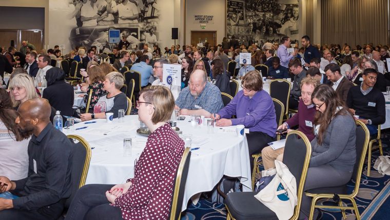
In typical conference fashion, the day started with registration, refreshments, and a chance to look round the various stands at the exhibition (and out the window which overlooked the cricket ground). The Welcome talk was delivered an hour later by Nick Chapallaz, Managing Director, GeoPlace who proudly announced that the conference, consisting of 420 delegates, was the largest event to date. This achievement was attributed to the growing addressing sector - with 2.5 billion street and address data records held and 35 million changes being made per year.
The Value of Data
Some 90 days after the Chancellor set-up the Geospatial Commission in his Autumn Budget (consisting of a £40m investment per year for the first two years), William Priest, Director of the Geospatial Commission, took to the stage to provide an update on his plans for the future. Priest noted that the UK is currently ranked 2nd out of 50 countries for Geospatial readiness and stated the difficulty which the nation faces in maintaining its position, considering the significant advances of other countries. Nevertheless, Priest displayed optimism in the future of the industry which will require further technological investment and increasing the accessibility of accurate geospatial data assets through the removal of unnecessary barriers to the GIS data. He was cautiously optimistic that doing so would see the economy grow by a possible £6-11bn.
Sally Kendall, Head of Street Works Policy and Regulation, Traffic & Technology Division, Department for Transport, used her time on stage to provide an update on Street Manager, a new digital service for planning, management and communication of street and road works. The system, which is designed to minimise and plan for disruption caused by congestion, pothole maintenance, and accidents, uses a single source of open data for all roads, and allows for better network planning. Thanks to it being developed from user research at a very early stage, she was optimistic it could live up to its promise.
Andrew Button, Data Analysis, Manager, Ofcom, spoke about building a complete picture of the UK infrastructure. He thinks linking addresses via a unique property reference number (UPRN) is the key to success in completing this jigsaw. 65,000 households status are still unknown, which in his words “bugs me”, and he plans to improve this and a number of other areas in the future.
Using Data to our Advantage
Providing health and care to those who need it costs approximately £3.5bn in the county of Kent. With this being such a huge sector, Dr Abraham P. George, Consultant in Public Health, Kent County Council, in his presentation, called for a linked dataset from GPs, mental health wards, hospitals, social care records, hospices, and more, using UPRN. Having access to data such as age, gender, demographics, risk score, and previous health visits, will not only help the hundreds of providers cope with the pressures of demand, but also anticipate future demand for a more effective system. He ended with “Right data, right analysis, right structure”.
Jai Ghai, Application Manager, Wolverhampton City Council, spoke about developing a central website where any information a citizen would need could be found. He used the quote: “Using data to drive change, delivering improved decision making, efficiencies and performance across the business contributing to increased customer satisfaction”, to sum up their mission which will of course require accurate, relevant, and up-to-date data. The system will have a ‘cloud first’ strategy using Microsoft Azure with an in-house web service being developed.
With £336m lost through fraud from 75,000+ cases each year, Peter Wilson, Director, Counter Fraud, CIPFA, discussed Fraud Hub - an analytics solution that helps prevent, detect and recover losses from fraud, helping councils optimise their resources for tracking down the lost money and preventing future cases. With councils under continuous financial strain, this could be a game changer.
Roundtable Discussion
There were 26 roundtables to choose from in the main hall. Table 1 was hosted by Dinesh Thanigasalam, Commercial Director, Aligned Assets, with the theme of ‘Closer Working with the Emergency Services’, who attempted, within the allowed time, to facilitate discussion around three key questions.
The first discussion focused on the topic of Emergency Services having access to the correct data to find streets and properties as easy as possible. The fire services was used as an example for when a call out is required. They are alerted that someone may be at risk and can find out more information if needed as they have access to council data on citizens. Unfortunately, councils don’t have access to fire service data which could help safeguard citizens and staff if made available. One rule for all and one central system was called for. “Wales is using UPRN to de-personalise data. Could this be used in England? There seems to be a lot more barriers in the way.” commented one of the participants.
The second question addressed how emergency services can best find non-postal addresses like bridges, lampposts, old mines, or when shop names are used rather than an address. The idea of a second naming system was brought up where these things could be referenced. Having this would ultimately help community safety as you’ll be able to pinpoint otherwise hard to locate locations, but everyone agreed a national consistent system is needed.
Benefits of Accurate Data
After lunch, Mike James & Alistair Calder, Data Architecture, Office for National Statistics, and Juliet Whitworth, Research and Information Manager, Local Government Association, discussed preparations for the 2021 Census. AddressBase Premium is being used to track deliveries, reminders and follow ups of the census. They all spoke of the huge task and challenges ahead, mainly from people living in ‘problematic properties’ like universities, park homes, caravans, hostels, and houseboats. The process for collecting the required high-accuracy data is their biggest concern - especially since the results will influence subsequent government policy-making. It is not surprising, therefore, that the value of the census to local governments will be an estimated £1.8bn over the next 10 years.
Jon Franklin, Head of Data & Information Strategy, Strategy Group, Valuation Office Agency, used his presentation to explain a flawed understanding of what addresses actually represent, which can undermine their credibility, in the hope that datasets can be used more efficiently. He finished with a few funny addresses, including ‘Four Wheel Drive, Rougham’ and ‘Laughing Snakes, Limpley Stoke’.
After another chance to look round the exhibition, Glenn Dobson, Principal Chair Regional Streets Group and Cathy Coelho, Principal Chair Regional Address Group, stated that working as a community in regards to the maintenance of street and address information is essential to the successful delivery of public, private, and emergency services. “This will enhance the lives of people and keep them as safe as possible. Not a bad thing to have on your CV.” The presenters feel that they have made huge progress since last year, but finished emphasising the importance of feedback and input to them in progressing forward.
Exemplar Awards
The day concluded with the presentation of the Exemplar Award to Mid Sussex District Council for its work using its local address register to underpin a bid for money from the Chancellor’s £190m Local Full Fibre Networks Challenge Fund. Other award winners included Ian David, who recently retired from Bridgend County Borough Council, who won the Peer Award; Dacorum Borough Council and Bournemouth Borough Council were announced as winners of the Data Quality and Improvement Award for Addresses 2018 and the Data Quality and Improvement Award for Streets 2018 respectively.
The packed out rooms, buzzing atmosphere and diverse voices made for an interesting day. It’s now time to put these ideas into motion!
This article was published in GIS Professional June 2018

Value staying current with geomatics?
Stay on the map with our expertly curated newsletters.
We provide educational insights, industry updates, and inspiring stories to help you learn, grow, and reach your full potential in your field. Don't miss out - subscribe today and ensure you're always informed, educated, and inspired.
Choose your newsletter(s)


