DroneDeploy Launches Real-time Mapping for Aerial Data and Analysis
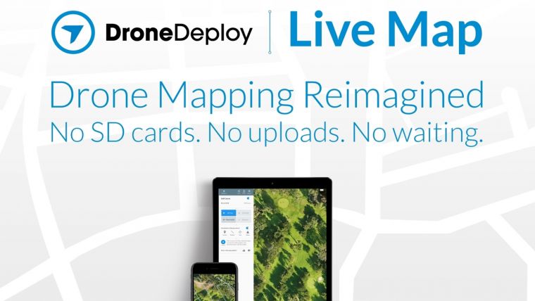
DroneDeploy, a leading drone mapping software platform, has announced the release of Live Map — a first-of-its-kind feature that allows any drone operator to create real-time maps in the field with their iOS device. Users plan a flight, take off, and see maps render on-screen during flight — without the need for internet or cell connection. They get an instant aerial view of their job site, field, or project in seconds as there are no processing times, which enables them to make real-time decisions.
Since the original Live Map inception, mobile devices have doubled in computational power — allowing DroneDeploy to improve map quality 400% by leveraging the latest devices and state of the art computer vision algorithms. Customers can now instantly turn hundreds of acres into consumable maps and share with collaborators without going back to the office, thanks to instant cloud-syncing across devices. If deeper analysis is necessary, users can also create higher-resolution 2D maps from the same flight data.
“Live Map is the re-imagining of Drone Mapping. There’s no SD cards, no uploads and no waiting,” said Mike Winn, CEO of DroneDeploy. “Now our customers, from across any industry, can get the data they need, providing instant insights and enabling them to make real-time decisions in the field.”
Live Maps use cases range from co-ordinating disaster response to assisting police, fire, and rescue efforts for locating missing persons, to documenting conservation efforts, and monitoring progress on a construction site. There is no limit to the real-world application of this technology.
“By producing a real-time map of a large construction or solar project, I can stay on top of site progress by counting solar arrays or monitoring progress,” said Ryan Moret, a field solutions manager at McCarthy Building Companies. “Live Map helps me end each day with confidence knowing where a project stands and what our subcontractors have completed so that we can provide the best product for our clients.”

Value staying current with geomatics?
Stay on the map with our expertly curated newsletters.
We provide educational insights, industry updates, and inspiring stories to help you learn, grow, and reach your full potential in your field. Don't miss out - subscribe today and ensure you're always informed, educated, and inspired.
Choose your newsletter(s)


