Esri Partners with Ocean Health Index for Ocean Health Data
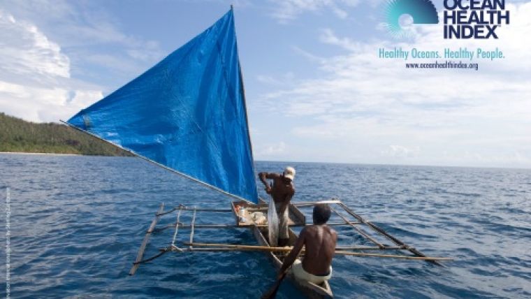
Esri, the global leader in location intelligence, has announced a partnership with the team behind the Ocean Health Index (OHI), the first program to comprehensively assess ocean health. The OHI is a joint project of Conservation International and the National Center for Ecological Analysis and Synthesis. Together, the organisations have integrated OHI scores as a data layer in Esri's ArcGIS Living Atlas of the World and will launch Ocean Health Hubs, online tools that enable ocean managers to explore data to better understand regional ocean health.
Dealing with ocean health data is complex. OHI assesses ocean health by looking at the social, ecological, and economic benefits that oceans provide to people. There are over 100 global datasets that power OHI's annual assessments, and they will serve as the foundation for Ocean Health Hubs. Developed with the help of ArcGIS Hub, Esri's citizen engagement platform, Ocean Health Hubs will display these global datasets with local data and allow faster progress on establishing ocean policies and setting priorities.
“Ocean Health Hubs will streamline data management, target setting, and communication into one tool that can be easily accessed and updated by multiple collaborators,” said Eva Schemmel, OHI director and Conservation International science adviser. “Citizens, scientists, managers, non-profits, and governmental agencies can use the hubs together, making engagement more efficient and effective.”
Ocean Health Hubs can be used as the first step in regional OHI assessments or on their own to track ocean conservation investments and sustainable ocean management within a region. Esri's mapping and analytics software will bring this data to life, allowing users to visualise ocean health through Living Atlas and explore open-source datasets for a specific region through hubs.
“These newly accessible datasets will allow users to better understand their regional ocean health and make sustainable ocean management decisions. Our involvement is part of Esri's broader support of initiatives within Conservation International and is in concert with the National Center for Ecological Analysis and Synthesis.” said Dawn Wright, Esri chief scientist.
To learn more, visit ohi-science.org/ohi-global/index.

Value staying current with geomatics?
Stay on the map with our expertly curated newsletters.
We provide educational insights, industry updates, and inspiring stories to help you learn, grow, and reach your full potential in your field. Don't miss out - subscribe today and ensure you're always informed, educated, and inspired.
Choose your newsletter(s)


