Global Mapper Adds Attribute Table Editor and Interactive Hillshade Rendering
Blue Marble Geographics has released Global Mapper version 19. Highlights of this release include an attribute editor; a tool for dynamically adjusting the light source position for hillshade rendering; and drag and drop docking functionality for improved multiview window management.
Twenty years ago, Mike Childs began working on a project to create a simple data viewer for the U.S. Geological Survey. Little could he have envisaged that in the subsequent two decades, his pioneering work would lead to Global Mapper.
The release of version 19 provides further evidence of the aggressive development philosophy that has driven the rapid growth of this application. Highlights of this version include:
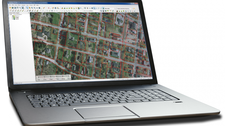
- A new table-based attribute querying and editing tool
- An innovative interactive utility for adjusting the terrain hillshade
- Drag and drop window docking for improved multiview management
- Expanded online data services for the U.S. and Canada
- Several new predefined raster calculation formulas
- A new option to constrain the 3D view to the extent of the 2D map
Blue Marble Application Specialists will be conducting a live, interactive webinar entitled ‘What's New in Global Mapper 19’ on Thursday 12 October 2017 at 2:00 p.m. (EDT, UTC-4:00). Registration is required for this free, hour-long event.

Value staying current with geomatics?
Stay on the map with our expertly curated newsletters.
We provide educational insights, industry updates, and inspiring stories to help you learn, grow, and reach your full potential in your field. Don't miss out - subscribe today and ensure you're always informed, educated, and inspired.
Choose your newsletter(s)


