Is Map Reading Being Sedated by Software?
The Royal Institution of Navigation has warned that we are becoming too dependent on satnavs and smartphones. It believes that traditional navigation skills encourage independent thought based on calculation and selfreliance. It wants UK schools to encourage the teaching of basic navigation as a way to develop character, independence and an appreciation of maths and science. Robin Waters looks at the warning and the press reaction.
Maps are one way in which geospatial information can be presented to a user. To those of us that enjoy using or have at least been trained to use maps they are often the best way of understanding geography – where physical features exist or how statistical information relates to space and how people or things are distributed across a town, a country, or the world. But often they are only a means to an end
– how to get there; what can we see; what’s the density, or some other attribute, of population varies in an area. The information content of most modern maps is stored digitally – whether as relatively sparse attributed points, polygons or line strings or as continuous images captured from sensors on satellites and aircraft or scanned from existing maps.
Cartophiles and Cartophobes
The difference, I would submit, between cartographers and many geospatial specialists is that the former, by definition, produce maps; the latter may do so (and probably not so well!) but must also produce other outputs to answer users’ expectations. These outputs might include descriptive routes, whether or not some condition is met at a particular point or in some particular area, and tables or textual representations that may be more useful, or just more familiar, to a complete range of end users. One mobile phone company carried out a survey in the early noughties to establish how smartphone users would react to mapped information. It turned out that while 30% of the population are ‘cartophiles’, there are at least another 30% who are ‘cartophobes’ and who really don’t like maps and cannot understand them.
Recently the Royal Institute of Navigation (RIN) has warned that “Growing dependence on smartphones and satellite navigation systems to find our way threatens the future for basic map reading and compass knowledge”. Apparently “society is becoming “sedated by software” as it loses both a practical skill and a spur to self reliance”. Doubtless most cartophiles will agree but most cartophobes will just press the directions button again.
The RIN was set up in 1947 when airliners still carried navigators able to take star shots and when every man was still called up for national service and learnt at least basic map reading in their first weeks of training. By the same token most car drivers would have been able to change a spark plug (in cars where they were at least visible!) and copies of documents were by carbon paper or spirit duplicator. Can you still get carbons for A4 paper?
Blessed Relief or King Canute?
Press response to the warning from RIN was instant and varied. The BBC’s Tom Heap suggested that not having to get to grips with maps would be greeted by some as a “blessed relief from flappy paper, navigation anxiety and marital trauma”. He also quotes the Geographical Association: “digital navigation helps you to get somewhere but fails to tell you anything about your surroundings”. Map skills are compulsory in GCSE geography which is still taken by 30% of our children.
A headline above Harry de Quetterville’s piece in the Telegraph suggests that ‘Maps are beautiful things, but GPS is far more practical – especially if you’ve got no sense of direction! He writes about the “Canutelike attitude of Roger McKinley” (president of RIN) and sees him “from his throne on the beach, issuing a decree that the tide of technology should come to a halt”! He goes on “Mapreading may be a skill in decline, but a great many of us have been rubbish at it for many years. Much as I’d like to, it’s a bit much to blame Apple for our longstanding incompetence”.
The Guardian devoted a leader to this announcement which includes: “For as far back as records go, it has been a powerful human instinct to try to describe the relationship between the physical world up to and beyond the horizon, and the world visualised in the imagination. Maps may have been among the earliest form of written communication. Sometimes it was an attempt to apply mathematical understanding to create a truly scientific account of the world. Sometimes a map was intended to order it according to ecclesiastical priorities, like the Mappa Mundi in Hereford Cathedral. Copies of maps allegedly made by Marco Polo of the coast of Alaska have surfaced in the US. Maps became the tool of merchants and administrators. In some places, the cartographers represented a kind of cultural oppression, a phenomenon captured by Brian Friel in his play about mapmaking in 19th century Ireland, Translations, where the villages and mountains are robbed of their Gaelic identity in a brutal outburst of Anglicisation by a detachment of soldiers. The Ordnance Survey maps that most walkers still use are direct descendants of the maps drawn up in the great expansion of cartography ordered to assess the state of Britain’s coastal fortifications against the French in the Napoleonic wars, and later the maps on which the great engineers sketched their plans for canals and railways.”
“To lose a familiarity with these maps would be like giving up learning a second language. Being able to look at a map and turn the contour lines and the symbols into the lie of the land, to see the march of pylons and the wooded hilltop and to be able to work out how to reach the nearest village with a pub: this is both a practical skill and a voyage of the imagination.”
TechnoNostalgia
Comments on these articles are even more varied and seem to bear out the proportion of cartophiles to cartophobes. One points out that paper maps don’t need batteries or phone or satellite signals. Another describes the whole RIN warning as “a bunch of technonostalgia tosh” (sic) and that the digital technology enables us all to carry much more detailed maps for much greater areas than we could with paper.
Another suggests that “But for all of this technology, a map is still a map. If you could bring the people who made the first OS map forward 214 years, they would (after the shock wore off) recognise it as a magical evolution of the maps they know. The 'ancient skills of mapping' aren't threatened, we just live in a world where the modern skills of mapping are in more demand. Those skills are built upon the old skills. This is the way the world changes over time. Moaning about 'millennials who can't use a compass' is as profoundly unhelpful as me moaning about oldies who can't use a computer. Embrace, adapt, evolve. By all means, preserve the past, but also recognise that the real 'voyage of the imagination' isn't behind you.”
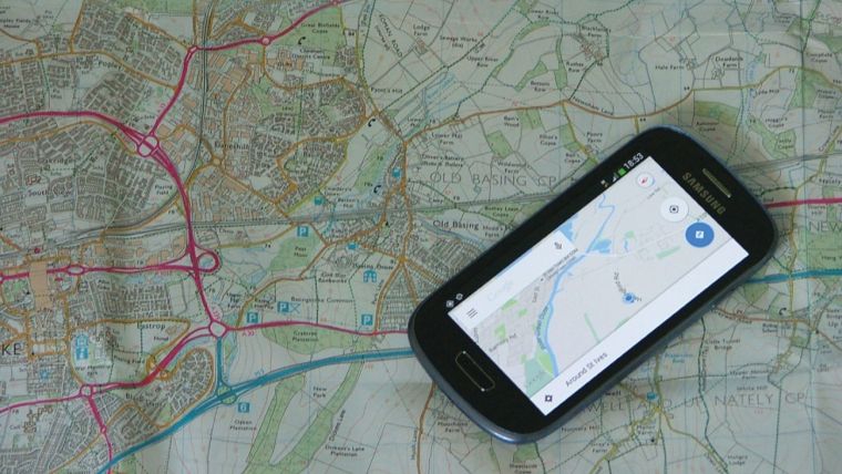
Personally, as a convinced cartophile I can appreciate the usefulness of both maps and satnavs. Smartphones do however have one real problem – try reading anything on a phone in bright sunlight. And why would you want to walk in the hills when it is dull and grey!
This article was published in GIS Professional June 2015

Value staying current with geomatics?
Stay on the map with our expertly curated newsletters.
We provide educational insights, industry updates, and inspiring stories to help you learn, grow, and reach your full potential in your field. Don't miss out - subscribe today and ensure you're always informed, educated, and inspired.
Choose your newsletter(s)


