Agriculture Mapping Market to Reach US$14 Billion By 2026
Increasing usage of IoT in the agriculture sector is contributing to the growth of the precision Farming/Agriculture market. Farm managers & producers are leveraging the capabilities of the IoT devices, such as sensors, GPS & GNSS systems, and automated steering systems, for soil sampling, temperature monitoring, filed mapping, irrigation management, and several other applications.
According to the current analysis of reports and data, the global precision Farming/Agriculture market was valued at US$5.3 Billion in 2018 and is expected to reach US$14.1 Billion by the year 2026, at a compound annual growth rate (CAGR) of 12.7%. This high growth is mainly attributable to an increasing usage of GPS & GIS systems to monitor agricultural parameters. These field mapping systems help to gather real-time data and enable the analysis of a huge geospatial dataset. These systems facilitate field mapping, soil sampling, and farm planning and help farmers to adopt effective soil or plant treatment strategies, increasing farm production. In addition, sensors are placed throughout the field that measure temperature, nutrition level and humidity of the soil. Therefore, the technology eliminates manual human efforts by automating crucial processes including real-time farm monitoring and information sharing.
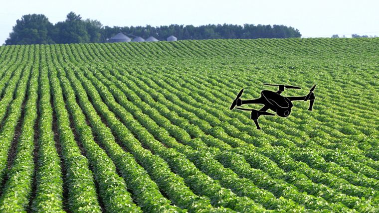
Precision Farming/Agriculture is swiftly gaining popularity among farmers due to the increasing need for optimum production with the given resources. Further, the changing weather patterns due to increasing global warming have necessitated the adoption of advanced technologies to enhance the productivity and crop yield. Another factor contributing to the precision Farming/Agriculture market growth is the huge use of drones and aircrafts for precision Farming/Agriculture operations. Drones have emerged as an excellent alternative to the traditional surveying & data gathering methods in agricultural operations. By using drones for crop monitoring, farm owners can significantly lower their production costs and reduce required man-hours and work-load. The players operating in the market are developing modern agriculture-focused drones with sophisticated precision & accuracy to increase productivity.
The major factors driving the precision Farming/Agriculture technology is the growing use of cloud-based technology, rising use of smartphones and the increasing application of technology in Farming/Agriculture with the aim of minimizing the human efforts and losses. Additionally, the need to maximize food production by the optimum use of resources is spurring the market growth globally. Further, the government incentives and subsidies towards increasing the productivity and conserving the environment is expected to catalyse the demand for precision Farming/Agriculture. Some of the other factors affecting the overall growth of the market are changing climatic conditions, rapid urbanization and the expanding application of navigation systems.
The major restraints of the market are affordability of the technology and lack of awareness about the benefits of precision Farming/Agriculture among farmers, particularly in the developing countries of India, Pakistan, Bangladesh, Indonesia, and Thailand among others.
Further key findings from the report suggest:
- The Asia-Pacific region is projected to be the fastest growing market during the forecast period, growing at a CAGR of 18.7%. Presence of countries with the largest population, rising demands for food products, and the need to enhance farm output drive the demand for precision Farming/Agriculture techniques in the region.
- The software segment is anticipated to witness a high growth rate of 17.6% over the forecast period. The software segment includes a detailed analysis of web-based and cloud-based precision agriculture.
- Yield monitoring is the most widely used application in precision Farming/Agriculture as it plays a vital role in understanding field variability and helps farmers in maximizing their farm yields.
- With the growing population and climate change, farms of all sizes are facing challenges to increase the crop yield. Such challenges can be addressed using IoT sensors such as field sensors. Field sensors encompass soil moisture, thermal, nutrition, and growth monitoring, as well as weed detection.
- The emergence of GIS, agricultural GPS systems, electronics miniaturization, and the emergence of drones have made remote sensing technology affordable in the agriculture industry. The images captured using remote sensing technology can be used for the classification of crop species, mapping of soil properties and crop yield, detection of crop water stress, and monitoring of weeds and crop diseases.
- Weather monitoring applications in the precision Farming/Agriculture market is projected to grow at a CAGR of over 16% from 2019 to 2026. As the agricultural sector is vulnerable to disruptive weather events, the demand for actionable & timely information increases. The real-time data regarding weather conditions help farmers to increase their yield and reduce costs while minimizing crop damage risks.
To order the full report, visit www.reportsanddata.com/checkout-form/1291

Value staying current with geomatics?
Stay on the map with our expertly curated newsletters.
We provide educational insights, industry updates, and inspiring stories to help you learn, grow, and reach your full potential in your field. Don't miss out - subscribe today and ensure you're always informed, educated, and inspired.
Choose your newsletter(s)


