Azimap Launches Public Data Library
Azimap has announced the release of Azimap 5.5 for all existing customers and anyone who signs up to try Azimap Professional, free for 30 days. The new version introduces a number of User Interface enhancements that significantly improve the user experience, with more streamlined workflows and increased mobile usability, improving the accessibility for users on Tablets or Smartphones.
Additionally, version 5.5 sees the inclusion of a number of major new features and enhancements, most notably the launch of the Azimap Data Library.
Data Library
The all new Data Library will change the way users are able to access, view and analyse publicly available open data. Accessible directly from your Data Catalogue, the Data Library will be host to a number of wide ranging public datasets, covering everything from census and population statistics to forestry and lover cover data.
The Data Library provides direct links to the datasets which can then be imported as a layer to the map of your choice, removing the need to manually search multiple sites for the right data in the correct format. Users will now be free to spend more time analysing data and creating the maps that matter to them.
Upon this release, the Data Library will only have a limited number of datasets available but more will be added over time as more open data sources are discovered or released.
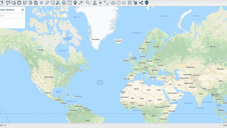
Improved Coordinate Search
Being able to accurately search your maps for important locations is vital to ensuring that information is analysed, disseminated and reported on correctly. As a result, improvements have been made to the ‘Zoom to a location’ functionality. It is now possible to search a map by any coordinate system of your choice, ensuring your searches always correspond to the same coordinates as your data. Additionally, the mouse hover coordinate display is also configurable to the coordinate system of your choice.
New Add Layer Workflow
A completely redeveloped workflow now allows multiple layers to be added in one go and with the new instant search functionality, users will be able to effortlessly create new maps and improve their organisational efficiency.
Visual Improvements
The latest Azimap release also introduces a host of visual improvements that deliver an enhanced user experience. Users will notice some of the main improvements on their Map Portal and Data Catalog screens with a new preview mode to help users easily identify the map or layer they wish to work on, alongside more descriptive map and layer information which now display the layer feature type, data format, layer projection and the number of layers present on a map. Other improvements have made it simpler to discover when a layer or map were last modified and the new smart search functionality has made finding specific maps or layers, effortless.

Value staying current with geomatics?
Stay on the map with our expertly curated newsletters.
We provide educational insights, industry updates, and inspiring stories to help you learn, grow, and reach your full potential in your field. Don't miss out - subscribe today and ensure you're always informed, educated, and inspired.
Choose your newsletter(s)