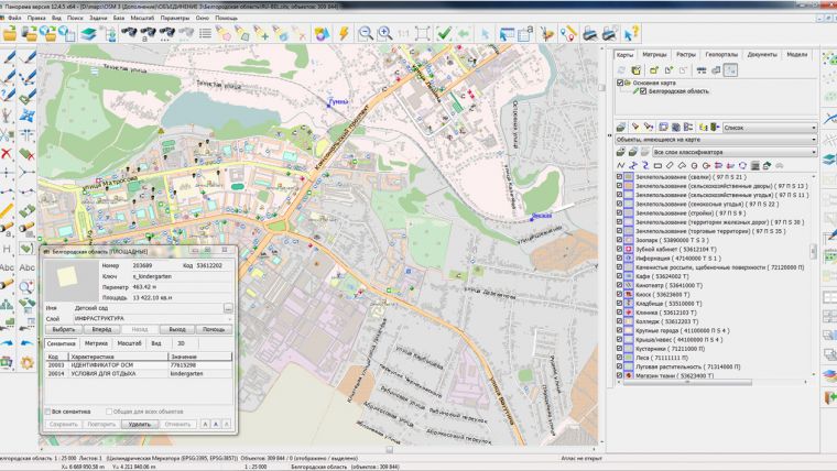
Belgorod and Bryansk Regional Maps on Bank of Spatial Data Updated
On the geoportal Bank of Spatial Data, the maps of the Belgorod and Bryansk regions, created using OpenStreetMap data, were updated. Source data obtained from the GIS-Lab website are complemented by objects from maps of scale 1: 1,000,000. There are added the objects of hydrography, vegetation, road network. For work with the received map it is possible to use the GIS Panorama Mini application or other software products of KB Panorama.
Publishing of updates in bank of spatial data is made by using the program of Databank of digital maps and remote sensing data. Publishing contents of bank of spatial data on the geoportal and data access for downloading are implemented using WebServer SE.

Value staying current with geomatics?
Stay on the map with our expertly curated newsletters.
We provide educational insights, industry updates, and inspiring stories to help you learn, grow, and reach your full potential in your field. Don't miss out - subscribe today and ensure you're always informed, educated, and inspired.
Choose your newsletter(s)


