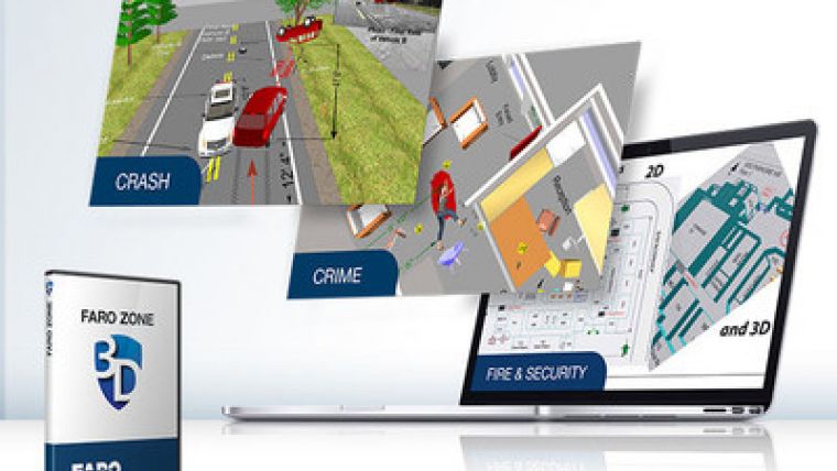
FARO ZONE 3D 2019 Released with a Focus on Public Safety
FARO, a 3D measurement and imaging solutions company, has announced the availability of the FARO Zone 3D 2019 software platform. The platform is specifically designed to enable investigators and security professionals to enhance the quality of site and evidence capture, documentation, reconstruction and analysis for crime, crash, fire and security applications.
FARO Zone 3D 2018 was the first VR-enabled software solution for law enforcement and forensics professionals that provides a platform for documenting, analysing, and reconstructing scenes that includes powerful forensic analysis, 3D diagramming and animation tools. FARO Zone 3D 2019 substantially builds on the functionality of its predecessor and offers ways to interact with and present forensic scenes.
Authoritative Forensic Scene Presentations
FARO Zone 3D 2019 integrates advanced functionality that brings forensics presentations to life in the most persuasive and powerful way:
- Leverage Witness Viewtool to show the exact point of views of a witness or officer at the scene
- Include visual time and distance analysis to verify vehicle positions under a variety of scenarios
- Include shadows and weather with 3D animations
- Hyperlink to display photos and reports
- Reconstruct crashes in detail with the Event Data Recorder (EDR) dashboard that displays and compares the animation to the onboard black box data recorder, e.g., steering angle, air bag deployment, when brakes are applied, etc.
Immersive Realism with Evolutionary Virtual Reality
FARO Zone 3D 2019 enables public safety professionals to walk through a forensic scene with an exceptional level of true to life realism. As such, it is ideal for assignments that range from investigations of officer-involved shootings to pre-incident site planning, forensics training exercises or 3D model scene augmentations and analysis, including bullet trajectories.
Additionally, a series of new tools are available that enable users to create security plans utilizing 2D and 3D diagrams of buildings and exterior sites, including the ability to show exactly what security cameras can view in 3D.

Value staying current with geomatics?
Stay on the map with our expertly curated newsletters.
We provide educational insights, industry updates, and inspiring stories to help you learn, grow, and reach your full potential in your field. Don't miss out - subscribe today and ensure you're always informed, educated, and inspired.
Choose your newsletter(s)


