Geomni Launches Mobile App for Ground Imagery and Drone Inspections
Geomni, a Verisk business, has launched its new mobile app for ground imagery and UAV inspections. The app enables users to collect imagery and other data directly with their mobile devices or to conduct complete UAV inspections with compatible DJI drones.
“The idea behind the app is for inspectors in the field to be able to do their jobs without having to venture onto steep rooftops or climb to unsafe positions. They can now gather exterior imagery and measurements needed from the safety of the ground,” said Jeffery C. Taylor, Geomni’s president.
The mobile app enables iOS smartphones and tablets to act as remote sensing devices that can capture images and other data. This ground-based imagery offers unique views and angles, complementing imagery and data captured from aircraft and satellites. Captured images are then synced back to the Geomni cloud, enabling detailed measurements and reports.
The improved remote sensing capabilities provided enable automated detection of several roof- and exterior-related items. This includes roof elements such as surface covering types, ridge capping, vents, and more.
When connected with a DJI drone, the Geomni mobile app offers powerful automated flight features and assists with preflight checklists, including obstacle avoidance, and generates autonomous flight plans to ensure the drone executes the perfect flight mission, giving thorough imagery capture and property measurements of the structure or property.
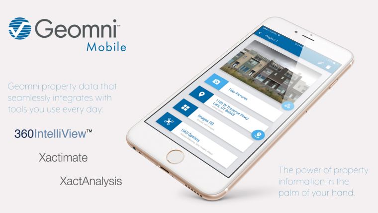
Users can order Geomni Roof or Geomni Property data packages directly from the app, allowing for easy comparisons of current and pre-existing damage. In addition, the app was designed to be compatible with Verisk tools such as Xactimate and 360IntelliViewä, making the data collected by the app ready to integrate into existing workflows.
The Geomni mobile app is currently available for iOS devices on Apple’s App Store. An android version is coming soon.

Value staying current with geomatics?
Stay on the map with our expertly curated newsletters.
We provide educational insights, industry updates, and inspiring stories to help you learn, grow, and reach your full potential in your field. Don't miss out - subscribe today and ensure you're always informed, educated, and inspired.
Choose your newsletter(s)


