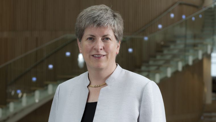
Leaving OS for a New Beginning - Interview with Vanessa Lawrence
As Vanessa Lawrence leaves Ordnance Survey, GIS Professional found her undaunted by setbacks and enthusiastic to bring the geospatial message to the rest of the world.
At the end of this year Vanessa Lawrence formally leaves the Ordnance Survey of which she was director general and chief executive officer for 13 years. During that time, she has done more than anybody else in the UK to push geospatial information up the government agenda. GIS Pro caught up with Lawrence at the AGI’s 2014 GeoCom event in November. At the same event we heard testimony to her achievements from Sir Mark Walport, the Government’s chief scientific advisor, who said ‘geospatial is integral to everything I do’. Lawrence herself, as we shall report, claims that GI is now used across some 3000 UK government departments.
What We Did Together
We began by asking her about how she thinks staff at Ordnance Survey will remember her and to reflect on her achievements. ‘I hope they will remember me for all the things that we did together, and the mutual passion we shared to be part of the digital revolution. When I started, we were in the middle of the Dotcom bubble. Many in the press said we didn’t have a role. We were also at the very beginning of making OS profitable, which we did very quickly but we also had to increase our relevance. I asked all the staff to work together to solve this problem. One of the results was the launch of OS MasterMap. When I arrived, it was in the research phase, but I asked the staff to finish it within 14 months – we did it in 13.’
When you talk to Lawrence it isn’t long before her infectious enthusiasm for all things geospatial shines through. ‘We made sure that we became part of the community of our industry and I hoped they would support us and our aspirations for GI. We tried to create a symbiotic ecosystem – a strong OS could only be successful if we also had strong links to the private and academic sectors. Today, for instance, all students can get free OS data’.
‘We progressed quickly but kept all our staff engaged and when inevitable disrupting events occurred, the management team worked together to deal with them so that staff could get on with their operational jobs. When Google Maps came along in 2005, our people wondered what this meant for OS. I said to them, ‘What you do is world class. Get on with it and we’ll deal with Google Maps!’
‘To sum up, I hope I created a happy cohesive work environment. The landmarks during my time included OS MasterMap, the new building, free maps for schools, GeoVation, unlocking some of our data into the open data space and a unified management team’ (she cannot recall an issue that divided the team).
Opportunity Knocks
Only months into the job and Lawrence saw a significant opportunity to show what GI could do for UK Plc. The country was faced with a serious outbreak of foot and mouth disease amongst cattle and other livestock. Back then, geospatial information was being used operationally to underpin tangible services like the Land Registry, but it was only being used extensively in about 25 parts of government.
Lawrence wrote letters setting out what OS could do but got little response until a permanent secretary said, ‘If you definitely think you can do something come along; you’ve got a ten-minute slot’. Those ten minutes were vital to the industry because everybody suddenly got it, she says. Accurate location would assist in making sure that the vets, who were coming from all over Europe, would be able to accurately locate the farms and at the same time there would be a better understanding of the spread of the disease. ‘We bought well over 1000 handheld GPS kits and we engineered a plate to go over the top so that there was only one button to press and a read-out for the vet to read off the number rather than an OS grid reference. This was transformational, and it was also about using up-to-date data in an age when people still had map chests and were getting out their paper maps combined with lots of local knowledge required. But mapping for a strategic common operating picture was new, whereas today we see with the Olympics, last winter’s floods, etc., that it is an essential part of the underpinning framework of the infrastructure of our country, a complete change’.
We questioned her on whether she’d had disappointments. ‘I actually said to someone recently that I believed I loved every day as director general. I cannot recall a disappointment. I can recall things going slower. We were doing some world-leading things which occasionally led us into cul-de-sacs and we had to come back out, but I never saw them as disappointments, only as setbacks which I had to lead us out of in order to move on because, like landing on the moon, it was the destination – we had to do it. We were driven by those mantras about collecting once and using many times, even though we were trying to do it with the most complex data in the world’.
Surely, she must have had some frustrations over the years? ‘I will always be frustrated that there aren’t 62 million people out there thinking that geospatial underpins every decision they make. Whether they got their water and phone signal this morning, or whether the traffic lights changed in the right sequence for the school crossing, those 62 million people depend on it. Geospatial is now inside every decision. Now I want to continue to get the whole globe to understand its importance!
Now for the Rest of the Globe
Since 2011 Lawrence has been co-chair of the UN-GGIM, the UN’s initiative on global geospatial information management. What attracted her to this position? ‘I have always been passionate about geospatial, inspired by a geography teacher. I was very lucky when I was in my 20s I won a scholarship from the Worshipful Company of Stationers that was worth £5000 to investigate a project that would, I told them, change their lives and that GIS would underpin every business within ten years. I went around the world and met some of the leaders from every continent. I was away for six months, even though I was disabled from a skiing accident at the time. Some of those people still remember those meetings including the surveyor general of Hong Kong, who is a good friend’.
We fast forward to 2011 when some people from the UN came to visit Lawrence at Ordnance Survey and to tell her about UN-GGIM and how they had a mandate for the next five years and wanted a co-chair. ‘I was surprised to discover that the British Government and some 90 other countries had suggested I become the first co-chair. Since then we have developed a good understanding that authoritative and maintained geospatial data is an essential requirement for underpinning the infrastructure of nations and is essential for good governance along with sound fiscal measures, authoritative statistics etc. We report to the Economic & Social Council and I’ve been lucky enough to be re-elected four times’.
She is proud of being presented recently with a large book filled with statements from ministers and governments from around the world saying how much mapping means to them. One of the fruits is a resolution to the UN General Assembly about the Global Geospatial Reference Frame and how it will make a difference for accurate positioning.
We finally asked about the elevator pitch: you have a few minutes in the lift at the UN building in New York and the ambassador for a newly elected government intent on making savings asks why he should support UN-GGIM. ‘I would convince him of the economic benefits. If they want to make savings they must have good geospatial data. I would also emphasise the economic stimulus. 72% of the world doesn’t have good land registration systems; as a result they can’t get loans, they can’t start businesses or stimulate growth. A geographical base is vital for good land tenure. It’s about optimally using the loans you could get, to build infrastructure. Powerful arguments to developing and transitional countries.’
So how many world leaders really get it we asked? She thought for a few moments. ‘Probably about 70, there may be more, even 100 who understand the importance of geospatial across the board from developed to developing countries. They do see land as socially and strategic importance’.
From January, Vanessa will be able to concentrate fully on UN-GGIM, but this is an expenses only position and it would be unprecedented for her to be elected again next August. GIS Pro will be very interested to see where she will deploy her talents next. We are certain that she will continue to encourage the use of geospatial information wherever she goes and we wish her all the best.
This article was published in GIS Professional December 2014

Value staying current with geomatics?
Stay on the map with our expertly curated newsletters.
We provide educational insights, industry updates, and inspiring stories to help you learn, grow, and reach your full potential in your field. Don't miss out - subscribe today and ensure you're always informed, educated, and inspired.
Choose your newsletter(s)