Report on 3D Australia 2017 Conference
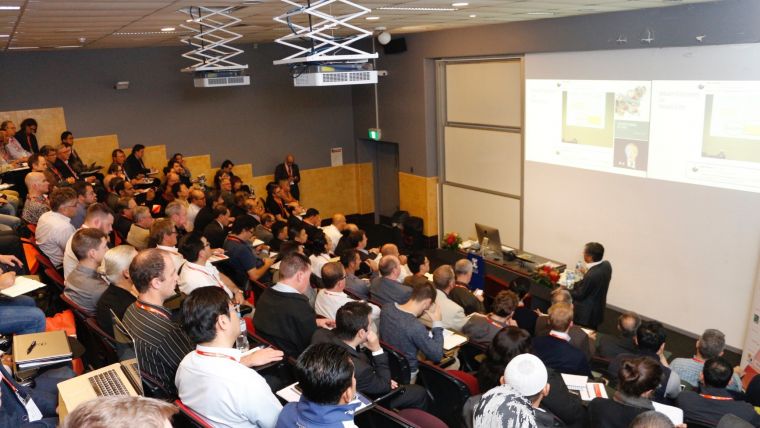
The inaugural 3D Australia conference was held at the University of Melbourne from 24-27 October 2017. 3D Australia 2017 comprised the 3D Geoinfo Conference 2017, the first international workshop on BIM and GIS Integration, and 3D cadastre training. 3D Geoinfo brought together 150 international 3D spatial information researchers from academia, industry and government. It provided an interdisciplinary forum in the fields of data collection, advanced modelling approaches, data analysis and visualisation.
The attendees enjoyed excellent keynote lectures on topics related to the national approach for 3D spatial data infrastructures (SDIs), nD systems for cities, the changing role of surveyors and spatial professions driven by 3D technologies, cultural shift to achieve smart cities and the role of standards in nD city systems.
There were 43 scientific papers submitted to the conference. After the double-blind peer review process, 16 papers were accepted and published in the ISPRS Annals (Volume IV-4/W5) and eight papers in the ISPRS Archives (Volume XLII-4/W7), both available online as open access proceedings. The papers covered a range of topics related to 3D geospatial data including drivers of 3D data, reasoning and structuring 3D data, 3D indoor data, several applications of 3D data such as energy analysis, asset management, cadastres and much more. The papers also included some examples of how 3D data is being used by public-sector agencies. There were many promising future research initiatives presented as short papers.
BIM and GIS
3D Geoinfo 2017 included a pre-conference workshop session on BIM-GIS integration organised by the International Association of Geodesy’s BIM Working Group. The workshop provided a platform for researchers to present and discuss their work in various aspects of BIM and GIS integration. The focus of the workshop was on the nexus of BIM and GIS to discuss the challenges of integrating BIM and GIS. During the workshop, ten papers were presented which identified several challenges including leadership, advocacy, inter-domain and intra-domain collaboration, best practices, funding models for BIM and GIS integration, BIM and city models data value and IP, standards and scales, BIM to 3D GIS workflow, data models based on concepts and ontologies, cross-domain curriculum development and BIM/GIS issues in the context of current social constructs (public and private sectors). There was also recognition of cross-domain collaborations in this space such as those between OGC, buildingSmart and ISO. The need for more input from the academic community into BIM and GIS standards was strongly highlighted.
The 3D cadastre training presented the Centre for Spatial Data Infrastructures and Land Administration’s previous and current research topics related to 3D cadastre. It also provided training on the implementation of 3D digital cadastral systems. All 40 attendees received a certificate of attendance from the University of Melbourne’s Centre for Spatial Data Infrastructure and Land Administration.
Throughout the event, attendees enjoyed Australian hospitality including Melbourne’s famous coffee, international food, an Aussie BBQ and Australian Aboriginal music.
The conference presentations are now available at http://3dgeoinfo2017.com.

Value staying current with geomatics?
Stay on the map with our expertly curated newsletters.
We provide educational insights, industry updates, and inspiring stories to help you learn, grow, and reach your full potential in your field. Don't miss out - subscribe today and ensure you're always informed, educated, and inspired.
Choose your newsletter(s)


