Topcon MAGNET Field GIS Software Offers Cloud-based Data Sharing Capability
Topcon Positioning Group announces the release of the MAGNET Field GIS software kit designed for efficient data collection, navigation and maintenance tasks.
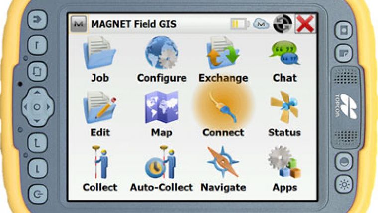
“MAGNET Field GIS is field data collection software with extremely useful data sharing capabilities,” said Jason Hooten, national sales manager, GIS products. “Utilizing the cloud, MAGNET Field GIS can send and receive data via a company’s MAGNET Enterprise account, allowing professionals in the field greater productivity and less time wasted driving to and from an office to deliver collected data.
“MAGNET Field GIS is powerful and intuitive – built to easily recognize and adapt to a user’s surroundings,” said Hooten. “Whether in an urban area within a GNSS network or in a rural setting with a DGPS connection, MAGNET Field GIS provides a modern data collection solution.”
The software package also includes features such as Microsoft Bing Maps for real-time background imaging, popular GIS file-format compatibility and customizable interface.
For more information, visit magnettour.com.

Value staying current with geomatics?
Stay on the map with our expertly curated newsletters.
We provide educational insights, industry updates, and inspiring stories to help you learn, grow, and reach your full potential in your field. Don't miss out - subscribe today and ensure you're always informed, educated, and inspired.
Choose your newsletter(s)


