Avenza Adds 36,000 LAND INFO Maps to Store
Avenza Systems Inc has announced the release of more than 36,000 maps by LAND INFO Worldwide Mapping, LLC on the Avenza Map Store, exclusively for use in Avenza Maps, its mobile mapping app.
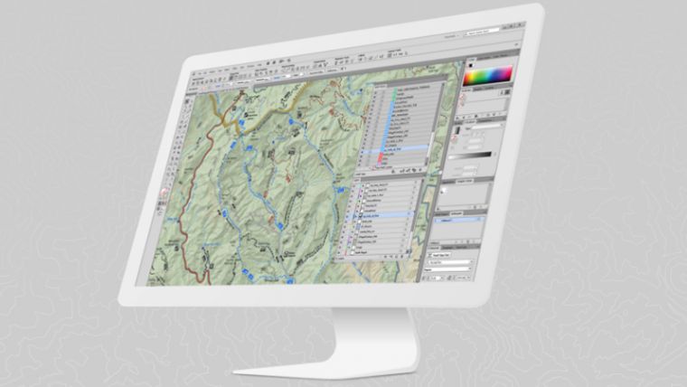
Avenza produces MAPublisher cartographic software for Adobe Illustrator and Geographic Imager geospatial tools for Adobe Photoshop. LAND INFO is a provider of global digital topographic map data, satellite imagery and value-added remote sensing solutions including advanced Object Based Image Analysis.
“With this release of LAND INFO maps for our users, Avenza confirms its position as a global leader in supporting those who use offline maps for everything from outdoor recreation to tactical military operations,” said Ted Florence, Avenza Systems president.
“Our map datasets have traditionally only been available to professional GIS users. Avenza Maps was by far the best path to make our content available to both consumers and professional users needing fast and easy access to mapping in mobile devices,” said Nick Hubing, president of LAND INFO.
Public consumers have access to maps from more than 25 countries, some with 50k, 100k, 200k, and 250k map scales. GEOINT users will have access to maps from more than 100 countries, some with map scales as detailed as 10k and 25k, including several city level maps.
LAND INFO maps are each priced at US$3.99 and are available on the Avenza Map Store. GEOINT users have unlimited access to the Avenza Maps Store and downloads without any cost.

Value staying current with geomatics?
Stay on the map with our expertly curated newsletters.
We provide educational insights, industry updates, and inspiring stories to help you learn, grow, and reach your full potential in your field. Don't miss out - subscribe today and ensure you're always informed, educated, and inspired.
Choose your newsletter(s)


