Bluesky Ireland Releases Online Geographic Data
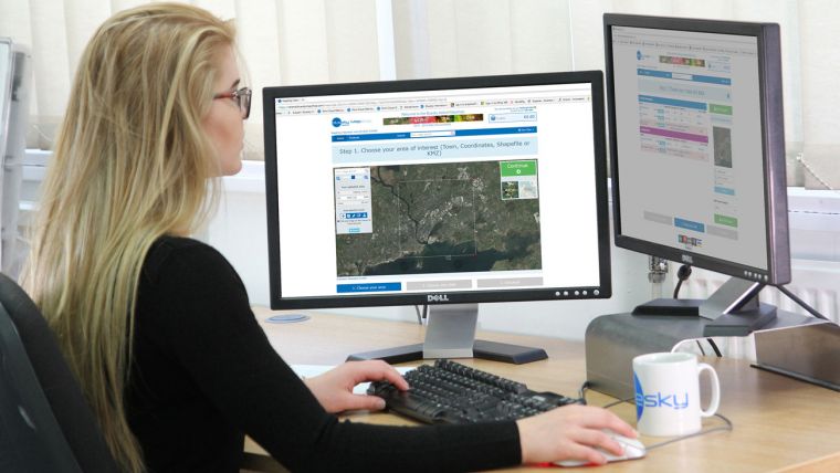
Bluesky Ireland, a specialist in aerial mapping, has added around 30,000 square kilometres of geographic data to its online Mapshop. Now covering more than 70% of the Republic of Ireland, www.irelandmaps.ie provides a one-stop online shop for the most up to date aerial photography, colour infrared imagery and digital height models. Offering an unrivalled resource for both professional and leisure users of geographic data, visitors can search the online archive before viewing and downloading their data of choice.
“We originally launched www.irelandmaps.ie last year with data for around a third of the Republic,” commented Rachel Tidmarsh, Managing Director of Bluesky. “Following a hugely successful flying season in 2017 we have more than doubled the data available and are excited to be able to offer aerial photography, Colour Infrared imagery and digital height models covering more than 70% of the country. We are confident that by the end of this year we will have 100% coverage across all data layers – a true first for Ireland and a unique achievement for Bluesky.”
Bluesky originally announced plans to capture 70,000 square kilometres of aerial photography in 2014. Three successful flying seasons have seen the capture of significant portions of this target, with products including 25cm resolution aerial photography, with complete or partial coverage over counties Carlow, Cavan, Cork, Galway, Kerry, Kildare, Kilkenny, Laois, Limerick, Longford, Louth, Meath, Offaly, Roscommon, Tipperary, Waterford, Westmeath, Wexford and Wicklow, and higher resolution, 12.5cm, data for urban areas including Galway, Sligo, Limerick, New Ross, Enniscorthy, Gorey, Tralee and Wexford.
In addition to the aerial photography, Bluesky is offering colour infrared (CIR) data online, which provides a valuable tool for studies in vegetation extent and health, and other effects of human activity on the earth and its environment. Detailed height models, Digital Terrain Models (DTM) and Digital Surface Models (DSM), are also available at 2m and 25cm resolutions respectively.
In another first for Ireland, Bluesky has added LiDAR data for Dublin to the Mapshop. Captured using aircraft-mounted lasers, LiDAR’s high level of accuracy and ability to penetrate vegetation offers the professional user a market leading spatial data source for a wide range of disciplines. New functionality on www.irelandmaps.ie also allows visitors to request quotes for bespoke projects including LiDAR data capture and the production of 3D Building Models.

Value staying current with geomatics?
Stay on the map with our expertly curated newsletters.
We provide educational insights, industry updates, and inspiring stories to help you learn, grow, and reach your full potential in your field. Don't miss out - subscribe today and ensure you're always informed, educated, and inspired.
Choose your newsletter(s)


