CartoConsult Pioneers GIS Innovation to Tackle Traffic Congestion
CartoConsult is to develop technology to reduce traffic congestion and improve transport services as part of a £4 million Department for Transport (DfT) initiative. The mapping software technology company has been selected by Swindon Borough Council, together with IT and networking company Cisco, to deliver an alert system for traffic managers to improve the dissemination of congestion information.
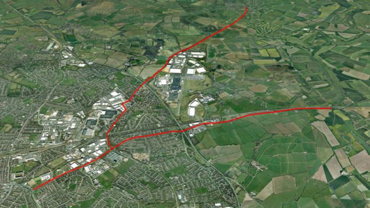
Swindon is one of nineteen local authorities across England being asked to come up with ideas to improve journeys through digital innovation. The Government-funded scheme will use the latest technology to transmit real-time traffic information to road users, such as delivery drivers, including those making just-in-time deliveries to companies such as BMW and Honda.
“We are already involved in some pioneering cloud-based mapping and Smart City projects across the UK, and the rest of the world, so we are very pleased to be part of such an exciting project in our home town,” said Tim Hughes, Managing Director of CartoConsult.
“As Swindon continues to attract commerce and expand, the transport network and environment are facing increasing pressures. As a thriving centre of excellence in engineering, Swindon is the perfect place to research and develop intelligent transport systems and smart infrastructure,” continued Hughes.
It is predicted traffic congestion could cost the UK economy more than £300bn over the next ten years. Funded under the DfT’s Cooperative-Intelligent Transport Systems (C-ITS) and Smart Infrastructure Competition, CartoConsult will use the latest innovations in mapping and the Internet of Things (IoT) to help improve traffic management on key routes in Swindon.
Roadside monitoring equipment on these routes will send real-time information out to businesses, bus companies and road users. The pilot scheme will include trials of methods to get information to drivers in their vehicles, using sat-navs and other in-vehicle equipment, so they can plan and adjust journeys to suit the traffic conditions.
Collected data will be used to inform future road schemes and enable Council highways teams to respond more quickly to incidents as they occur. The project provides live data from a much larger sample of traffic compared with existing traffic update systems, and allows the latest technology to be tested to identify if it would be of benefit across the town’s – and ultimately the country’s - entire highway network.

Value staying current with geomatics?
Stay on the map with our expertly curated newsletters.
We provide educational insights, industry updates, and inspiring stories to help you learn, grow, and reach your full potential in your field. Don't miss out - subscribe today and ensure you're always informed, educated, and inspired.
Choose your newsletter(s)


