DigitalGlobe Completes Mapping Mission for PSMA Australia
DigitalGlobe has announced it has mapped the entire continent of Australia at an unprecedented level of detail using the cutting-edge techniques of artificial intelligence (AI), machine learning, and crowdsourcing. DigitalGlobe produced data layers for PSMA Australia to create Geoscape, a commercial location intelligence dataset about the Australian built environment that will enable end users to make business decisions with confidence. PSMA Australia is an organisation that offers authoritative geospatial data sources to public and private institutions across Australia.
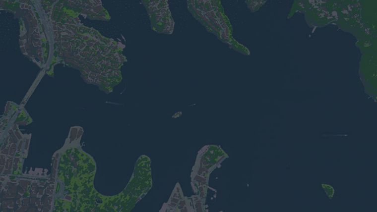
Geoscape describes the physical attributes of every building across all 7.6 million sq km of Australia, transforming workflows for monitoring, growth and optimisation across a broad spectrum of industries, allowing organisations to focus on the result instead of manually gathering the data themselves. Customers now have access to this comprehensive, geospatial dataset without the need to hire GIS experts or perform costly rounds of site visits. When these data layers are combined to custom-fit the end user's needs, they provide key insights for accomplishing projects faster, such as infrastructure planning for the next generation 5G networks, insurance risk modelling and improved urban planning and taxation activities.
DigitalGlobe supplied the industry-leading satellite imagery, analytics and content ecosystem partners that enabled PSMA Australia to produce the dataset. DigitalGlobe tasked its WorldView-3 satellite to collect imagery of the entire continent with its shortwave infrared (SWIR) sensor, allowing DigitalGlobe to identify materials on each property.
Employing its advanced cloud computing-based analytics platform called GBDX, DigitalGlobe leveraged its own algorithms and those from its content ecosystem partners to extract 105 different attributes about properties from the imagery, such as the precise location and height of trees and buildings, existence of swimming pools, land use, roof complexity and distribution of solar panels. Additionally, Radiant Solutions produced a continent-scale Land Cover map created using AI and a team of trained image analysts.
PSMA will continue to update Geoscape over the next two years with fresh data layers from DigitalGlobe. Visit this website to see a sample of the Geoscape data.

Value staying current with geomatics?
Stay on the map with our expertly curated newsletters.
We provide educational insights, industry updates, and inspiring stories to help you learn, grow, and reach your full potential in your field. Don't miss out - subscribe today and ensure you're always informed, educated, and inspired.
Choose your newsletter(s)


