Free Access to Mobile Mapping App for Organisations Responding to Natural Disasters
Takor Group is offering free licences for its mobile GIS and data collection app, Mappt, to support the immediate response and recovery process in the aftermath of frequent hurricanes affecting the United States and Caribbean nations.
Any agency or organisation involved in the response to Hurricane Harvey, Hose, Irma and now Maria, can simply email support@mappt.com.au to receive a complimentary licence of Mappt Standard for the duration of the disaster relief effort.
Mappt is a mobile GIS and data collection application used in an array industries ranging from mining, environmental and agriculture through to logistics, defence, and livestock tracking, used in over 80 countries worldwide. For those who require offline geographic data on a mobile device, Mappt provides an affordable, user-friendly and dynamic mobile mapping solution for both Android and iOS platforms.
Disaster management and response
Takor’s CEO and founder Amir Farhand stated his company offers their heartfelt condolences to those affected by these tragic occurrences. He realises the initial and enduring problems will be massive and hope to provide some assistance in the road to recovery for Texas, the Caribbean and the US East Coast. Takor is dedicated to helping in this effort by offering any government agency, NGO or other response team, unlimited and free access to Mappt for as long as needed.
Mappt has been used for disaster management and response in the past, as it provides a portable, offline, easy-to-use platform for viewing, collecting, tracking and mapping data, by utilising the power of location. The application has been used to manage the Ebola outbreak in in West Africa in 2014, for tracking and managing cheetah populations in Iran and for wildfire management in Australia and the US.
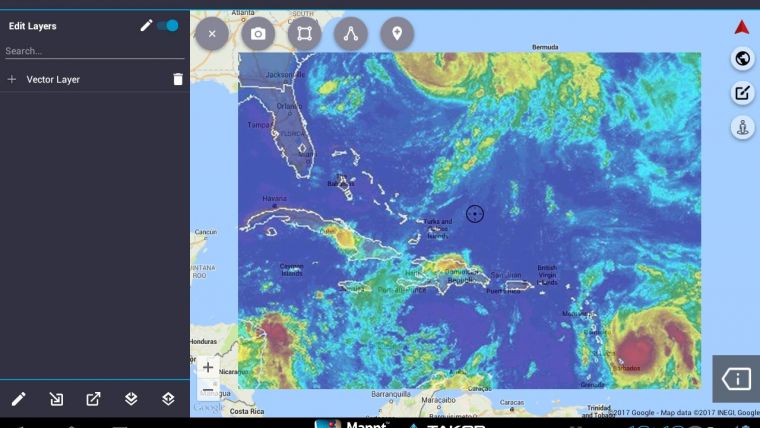
Geospatial data collection
The mobile app enables field workers to gather data in an efficient manner, work offline in remote areas without internet access and view, edit and share location based geographical data on Android tablets and smartphones.
Geospatial data collection, integration and spatial analysis while disaster response teams are out in the field, is critical to the successful response to natural disasters, said Alistair Hart, managing director of Mangoesmapping.
Mappt is also currently available in the following languages; English; Spanish; Portuguese; Hindi; Indonesian; French; Japanese; Korean; and Farsi, for those in non-English speaking affected areas.
Mappt is ideal for fast deployment in disaster situations and has become an invaluable tool for public response disaster groups and for the United States’ first responders. Mappt Military is the US Military’s custom version of the mobile GIS and data collection app. It equips soldiers with a geospatially enhanced situational awareness, enabling military personnel to process data in the field faster and more accurately, ensuring better tactical decision making.
Takor Group urges other organisations, customers and groups in the geospatial community to join them in supporting the relief effort. Send an e-mail to support@mappt.com.au for free access to Mappt now.

Value staying current with geomatics?
Stay on the map with our expertly curated newsletters.
We provide educational insights, industry updates, and inspiring stories to help you learn, grow, and reach your full potential in your field. Don't miss out - subscribe today and ensure you're always informed, educated, and inspired.
Choose your newsletter(s)


