HxGN Content Program Releases USA Aerial Imagery
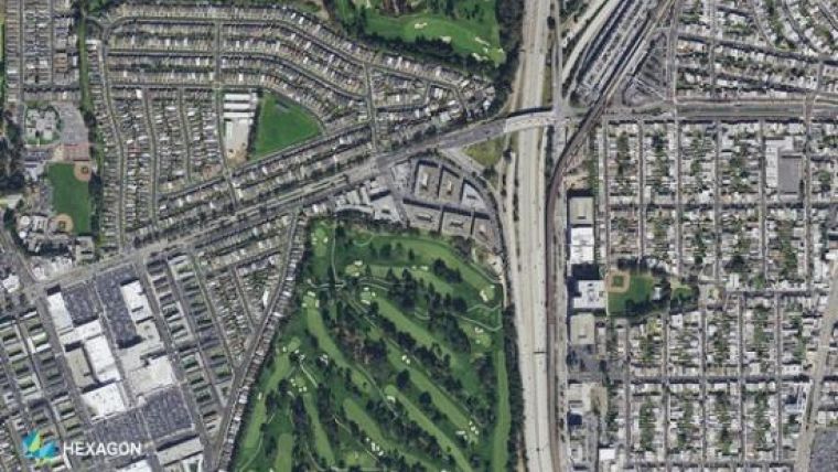
Hexagon’s Geosystems has announced the HxGN Content Program, providing access to ortho imagery for professional use – releasing about 250,000 kilometres square of 15cm resolution aerial imagery of metropolitan centres and more than 4 million kilometres square of 30cm resolution coverage of the United States.
The HxGN Content Program refreshed the coverage of more than half of the USA with a focus on the states of California, Texas, Virginia, New Mexico, Maine and major cities in the Southeast. The data is available for purchase or on a yearly subscription model and can be used in any third-party software or enterprise application via WMTS or WMS protocols.
“For the last five years, through our HxGN Content Program, we have been giving our customers unique capabilities and insights, enabling a new era of airborne imagery information,” said John Welter, Hexagon’s Geospatial content solutions president. “We have a highly-skilled team of mapping professionals who quality control the data, providing an orthophoto map of the United States of unmatched quality and positional accuracy.”
Understanding the importance of an accurate and up-to-date environment and resources, with the release of the new datasets of 15cm and 30cm resolution, GIS professionals can access updated aerial imagery to be used in various applications serving a variety of industries, including construction, oil and gas, utilities, forestry, insurance, safety and security, and government projects.
For more information, visit https://hxgncontent.com.

Value staying current with geomatics?
Stay on the map with our expertly curated newsletters.
We provide educational insights, industry updates, and inspiring stories to help you learn, grow, and reach your full potential in your field. Don't miss out - subscribe today and ensure you're always informed, educated, and inspired.
Choose your newsletter(s)


