Leica Releases TruView Cloud Service
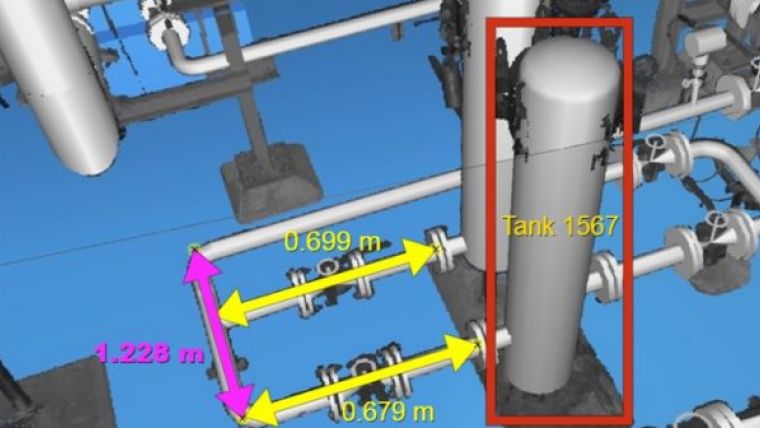
Leica has released its TruView Cloud Service allowing users to take reality project data gathered by any kind of sensor and—simply by logging into a Cyclone Cloud account—publish it for remote access and use in BIM, GIS, and CAD applications.
Though TruView Cloud is designed to offer a very simple upload operation, it also includes much more granular security controls, enabling administrators to set permissions and restrict data access as necessary for different stakeholder communities. From there, stakeholders can use it to view, measure, and manipulate the data anywhere, anytime, and on any device.
As Faheem Khan, vice-president of business development explains, the service will be managed by the same team that manages Cyclone Cloud. This helps “free up scanning professionals from the complex IT demands to maintain highly available cloud servers and services,” including personnel and maintenance stats Faheem Khan, vice-president of business development.
Customers can pay only for the services and consumption they need—which should help lessen the cost of sharing information. TruView will enable users to “access the same enterprise-level project collaboration solution (as a local TruView server) in a Leica Geosystems-trusted and managed cloud environment.”

Value staying current with geomatics?
Stay on the map with our expertly curated newsletters.
We provide educational insights, industry updates, and inspiring stories to help you learn, grow, and reach your full potential in your field. Don't miss out - subscribe today and ensure you're always informed, educated, and inspired.
Choose your newsletter(s)


