Ordnance Survey Announces OS Open Zoomstack
Ordnance Survey (OS) has launched OS Open Zoomstack, a mapping product under a three month trial. The Zoomstack API is an easier and more accessible way of using OS data in an interactive map and has been designed with start-ups and SMEs in mind to help with building mobile and web applications. The OS data within it can be transferred as a single 2GB data file, meaning it can be used off-line or out in the field.
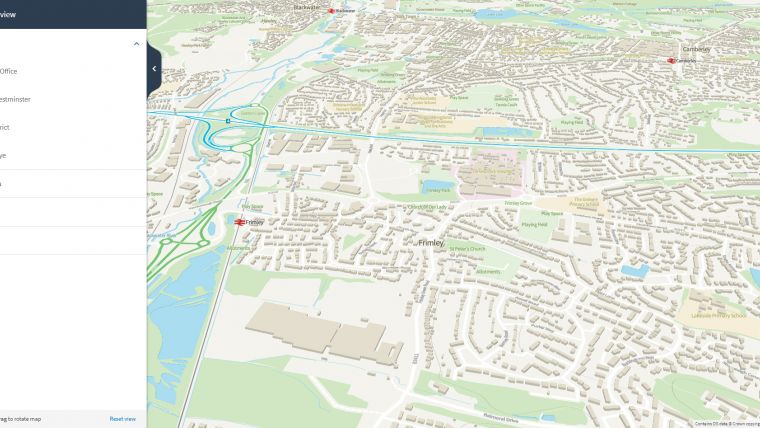
OS Cartographic Design Consultant Charley Glynn said: “Zoomstack is a vector-based map which ranges from a national overview right down to street level detail. We are supplying it as a single file so it is going to be really easy to get going. We are also supplying cartographic style sheets, to help people get started quickly. It is going to enable people to use it in a GIS, in web mapping, on mobile devices and to also take OS data offline. Zoomstack is going to make our data more accessible and more usable to a wider range of users - especially those start-ups and SMEs that we want to build mobile and web applications using Ordnance Survey data.”
OS Open Zoomstack will be available in the following formats: GeoPackage; PostGIS Export File; Vector Tiles (based on Mapbox open specification); and Vector Tile API.
Charley Glynn continued “We’ve designed Zoomstack to be used in different ways. For our traditional GIS desktop users we’ve got data formats they will be able to use. Equally we are introducing vector tiles, which make it a lot easier for new technologies if you are developing web and mobile applications. We are seeing more and more requirements from our customers who want to use their data on a mobile device out in the field, so this will enable them to do that.”
Charley Glynn added “We want people to download the data, use the API, and play around with it. We’d love people to share with us what it is they have done, and most importantly we want to hear their feedback. How has Zoomstack helped improve their job or their application? We are then going to use that information and feedback to inform the future developments of this product and equally inform other products OS is working on.”
The trial follows the announcement by the Geospatial Commission to open OS MasterMap. The aim is to use the trial as a way of improving access to OS data and helping users to utilise OS data in different ways.
Visit os.uk/zoomstack for more information.

Value staying current with geomatics?
Stay on the map with our expertly curated newsletters.
We provide educational insights, industry updates, and inspiring stories to help you learn, grow, and reach your full potential in your field. Don't miss out - subscribe today and ensure you're always informed, educated, and inspired.
Choose your newsletter(s)


