Radiant Earth Foundation Releases Earth Imagery Platform
Radiant Earth Foundation has announced the release of its new open Earth imagery platform. The platform is the first of its kind to offer instant, secure, and free access to Earth observation data on the cloud and help the global development community apply the data to real-world problems.
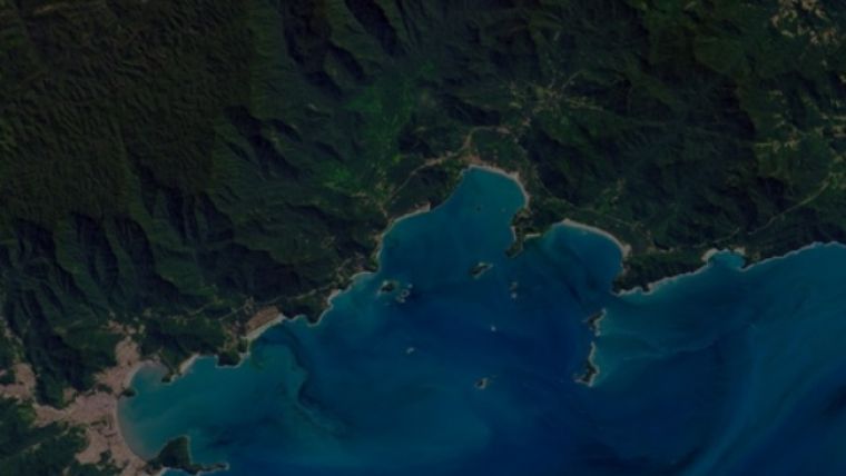
There are more than 600 Earth observation satellites orbiting the planet, each one generating an estimated 6.4 terabytes of data each day. From seeing the scale of natural disasters to supporting Ebola outbreak responses, this data can measure global changes in near real-time, leading to better-informed interventions and investments from the public and private sectors.
The current growing market for Earth observation data is highly fragmented and often cost-prohibitive for NGOs, multilateral organisations, government agencies, and others focused on social entrepreneurship. Working with organisations such as NASA, the European Space Agency, the Group on Earth Observations, the Global Partnership for Sustainable Development Data, and private companies around the world, Radiant Earth Foundation’s platform brings together billions of dollars’ worth of satellite imagery and makes it available to the global development community. Additionally, the platform provides user-friendly analytical tools and support, empowering a range of users to consume and analyse the data in their everyday work.
“As global threats like climate change rapidly grow, observation systems and analytical technologies such as machine learning allow us to analyse landscapes and communities at a scale that was previously impractical and inaccessible to global development practitioners,” said Anne Hale Miglarese, founder and CEO of Radiant Earth Foundation. “And while satellite imagery offers a front row seat to humanity’s footprints, data alone doesn’t advance solutions. Our platform has been built by and for the development community, providing the best technology tools and insights to support the people who need it most.”
The platform’s open API also allows users to integrate non-imagery data, including air quality, population, and weather statistics. With funding from Omidyar Network and the Bill & Melinda Gates Foundation, Radiant Earth Foundation serves as a neutral, not-for-profit organisation helping the growing satellite imagery industry.

Value staying current with geomatics?
Stay on the map with our expertly curated newsletters.
We provide educational insights, industry updates, and inspiring stories to help you learn, grow, and reach your full potential in your field. Don't miss out - subscribe today and ensure you're always informed, educated, and inspired.
Choose your newsletter(s)


