REMAP Harnesses Google and NASA Data for Ecosystem Mapping App
University of New South Wales’s (UNSW) has developed REMAP, a mapping tool that uses machine learning and archival Landsat data to map ecosystem change.
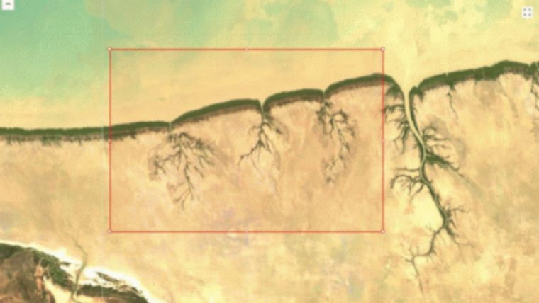
The app uses machine learning to develop a map which users can train to classify specific ecosystem types by identifying a few pixels from Google Earth, or by uploading their own field data.
From that little bit of data, REMAP can apply that information to recognise ecosystems in a selected area and then returns results that let users know the final extent of the ecosystem and how much it has changed over time.
“In the past it has been a technical process to produce high-quality maps suitable for tracking environmental change such as deforestation and ecosystem loss. It really has been sitting in the hands of experts,” said Project lead, Dr. Nicholas Murray from UNSW’s School of Biological Earth and Environmental Sciences. “We aimed to remove the technical steps required to monitor ecosystems from space. Now, if I want to map an area the size of Sydney using satellite data that would require a fraction of the time in REMAP.” he said.
UNSW says that REMAP is now being used to monitor ecosystems in over 140 countries worldwide.

Value staying current with geomatics?
Stay on the map with our expertly curated newsletters.
We provide educational insights, industry updates, and inspiring stories to help you learn, grow, and reach your full potential in your field. Don't miss out - subscribe today and ensure you're always informed, educated, and inspired.
Choose your newsletter(s)


