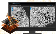
CartoPac Data Interchange for ArcGIS
Spatial Data Technologies (SDT) (CO, USA), developers and integrators of mobile mapping solutions, have released the CartoPac Data Interchange for ArcGIS. This new extension provides ArcGIS users with expanded mobile...