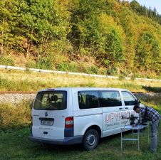
UAS Photogrammetry and Railway Mapping
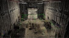
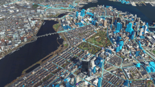
Today’s photogrammetric software is able to create dense and precise digital surface models (DSMs), digital elevation models (DEMs) and orthoimages. But is the accuracy sufficient for highly demanding railway applications?...