Esri Releases Complete Utility GIS Platform
Esri, the global leader in GIS technology and spatial analytics, has announced it is releasing a Utility Network Management extension for ArcGIS. It delivers the new utility network, letting users create, manage and share complete data about networks from source to demand, such as residential meters for electricity, water, wastewater and gas as well as among district heating and telecommunications companies.
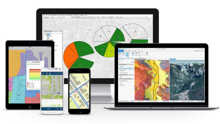
These network management capabilities enhance Esri's current utility platform for handling billions of data elements while providing access to the utility network on any device. For the first time, workers will be able to edit and trace the path of a network from a smart device while in the field and share information securely and easily with those who need it. Previously, each utility sub-network – like transmission lines, substations, and distribution and low-voltage networks – had its own separate GIS database.
The utility network provides a holistic system for every component of the utility supply chain right down to the customer, as well as the ability to store unprecedented detail on each of these components, which will be very important as utilities evolve to provide higher-fidelity information to operational systems.
The ArcGIS Utility Network Management extension allows the utility network to be completely cross-platform capable, meaning it is not confined to users of desktop GIS software. Prior to this innovation, location data was not easily accessible for fieldworkers or executives, managers, service technicians, and accountants who needed to have accurate, real-time understanding of utility assets.
In addition, Esri partners in the utility field will be able to use this network to add greater value to their workflow, create new solutions allowing personnel to be more efficient, and to better satisfy the needs of their customers.
Learn more at go.esri.com/completeGIS

Value staying current with geomatics?
Stay on the map with our expertly curated newsletters.
We provide educational insights, industry updates, and inspiring stories to help you learn, grow, and reach your full potential in your field. Don't miss out - subscribe today and ensure you're always informed, educated, and inspired.
Choose your newsletter(s)


