Technology Taking Off - Survey Association UAV Conference 2013
Richard Groom reports back from the Survey Association’s recent UAV conference at the Newark showground in June. Sadly the weather limited the flying display but delegates still got a real understanding of the latest technology for mapping.
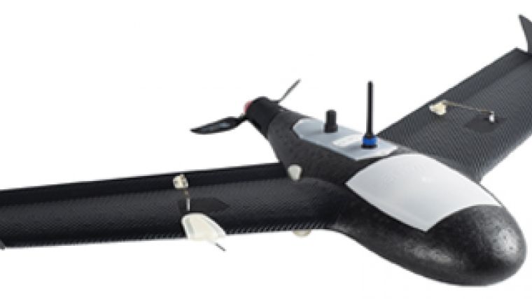
The Civil Aviation Authority prefers the term “unmanned aircraft” (UA) to unmanned aerial vehicle (UAV) or system (UAS). This may sound pedantic but (thankfully) logic and order are fundamental to air traffic control. And the first speaker, Gerry Corbett, who is in Flight Operations Policy at the Civil Aviation Authority (CAA), says that the same principles apply to piloting an aircraft, whether they are manned or unmanned. Both have pilots who operate the aircraft and have the same responsibilities, even if the pilot stays on the ground. UA’s currently used for commercial surveying are all less than 7kg in weight, at the lower end of the lowest CAA category.
Certification
Unmanned aircraft can only be operated within line of sight, nominally 500m, and at an altitude lower than 400 feet. UA operation in the UK is covered by the Air Navigation Order and these rules should ensure the safety of third parties.
The CAA licenses UA operators who have a qualification taught and examined by the European Unmanned Systems Centre (EuroUSC). The two-day course equips operators with the knowledge to operate an aircraft safely and there are currently about 200 licenced pilots with another 20 qualifying every month. A refresher course is required every year. The CAA encourages discussion on the adaptation of the rules for a particular use and some conference delegates had been able to relax the maximum flying height and/or the maximum operating range.
Inconsistent Safety
Corbett was at pains to point out that the purpose of CAA regulation is safety, but this does not quite gel with the CAA policy of requiring only commercial pilots of UAs to be licensed. Surely safety has the same importance whether you are paid or not – as is the case with manned aircraft. Although several delegates made the point that accidents have to be avoided at all costs if the future use of UAs is not to be put in jeopardy, there was some evidence from the audience that everyday health and safety standards are not being fully implemented by all operators. Each flight should be recorded but not all near misses or minor incidents were being reported. There did not appear to be full awareness of the established relationship between the frequency of near misses, injuries and fatalities.
Privacy Issues
In the USA, the industry also has to contend with privacy. John Palatiello of the Management Association for Photogrammetric Professionals, or MAPPS, (see our sister magazine Geomatics World May/June 2013, p20) gave a video presentation explaining that privacy of the individual is guaranteed by the constitution. Two states have passed bills to prevent use of UAs for “surveillance” but with specific exclusions to enable the use of UA imagery for mapping purposes. There is a possibility that aerial photographers will have to gain the permission of all landowners before taking photographs, which would clearly render the technology unviable.
Processing the Data
Christophe Strecha described how Pix4D software converts image data into orthoimagery and digital surface models. Strecha contrasted conventional photogrammetry, using precise, calibrated, large-format photos/images, precise GNSS positioning and IMU data with image processing of UA data. It works by using massive redundancy from 80% overlaps, which means that the data itself can be used for calibration and precise relative orientation. Absolute positioning uses GNSS or with reference to ground control points. The results are close to accuracies obtained with conventional photogrammetry.
UAs in Action
Three users presented their results and experiences. Trimble’s Tor Erik Dujpos talked about the data workflow and analysis of Gatewing data and reported on a test with lots of ground control. The result was an average positional error of 31mm with a maximum – on a relatively isolated point in the model – of 60mm. Alan Cooper at Sky Futures spoke about how his company uses its three UAs – a Gatewing, an Aztec Falcon 8 and an Aeryon Scout. They notify CAA of all surveys and gave a rather alarming account of a low flying military aircraft crossing their site minutes before they had planned to take off. Clearly, the notice to CAA (which are issued as Notices to Airmen or “NOTAMS”) had been ignored. Duncan Forrow from the Geoinformation Group described a 3D creator/viewer that the company has developed in conjunction with English Heritage, which produces 3D images viewable with glasses on 3D televisions.
The day concluded with questions and answers that covered, among other things, insurance – professional indemnity and third-party risk – and the practicalities of deriving “bare earth models” from the surface models typically generated in the first instance.
Your correspondent congratulates the TSA on a well run, enjoyable and useful day despite the wind, which limited flying to a single demonstration.
This article was published in GIS Professional August 2013

Value staying current with geomatics?
Stay on the map with our expertly curated newsletters.
We provide educational insights, industry updates, and inspiring stories to help you learn, grow, and reach your full potential in your field. Don't miss out - subscribe today and ensure you're always informed, educated, and inspired.
Choose your newsletter(s)


