Intermap contracted by USGS for NASA’s moon landing simulations
Intermap Technologies, a global leader in 3D geospatial products and intelligence solutions, has been contracted to provide its high-resolution NEXTMap elevation data and precision radar imagery to support the United States Geological Survey (USGS) and NASA’s Artemis III simulations and training exercises in the Arizona desert.
Intermap’s data is being leveraged by the Joint Extra Vehicular Activity Test Team (JETT), a specialized group that develops, integrates and executes tests and analogue missions. The JETT is part of NASA’s Artemis III mission, which intends to land a human crew near the lunar South Pole in 2025. Test missions are taking place in the Arizona desert, which has characteristics that are analogous to a lunar environment. This includes challenging, rugged terrain, unique geology and minimal communications infrastructure, all of which astronauts will experience near the lunar South Pole during the Artemis missions. Intermap’s NEXTMap digital elevation models and radar imagery provide accurate 3D information covering the Arizona JETT exercise area, allowing USGS and NASA to plan and execute tests to evaluate designs for Extra Vehicular Activities (EVAs) such as suites and tools, address gaps and risks for lunar surface operations and develop capabilities for EVA and scientific tasks.
Geospatial data for simulated moonwalks
The JETT is conducting a series of fully integrated, mission-scale exercises to ensure successful lunar surface operations and technology development for the Artemis III mission. Studies for the Artemis III mission include field hardware preparation, testing in lunar-like terrain and a fully integrated simulation consisting of EVAs, scientific evaluations and flight control teams at the Johnson Space Center. These studies will provide crucial data and insight as teams conduct operations in a simulated lunar environment to practice for the lunar mission in 2025. Elevation data is critical for training missions on Earth to prepare for space missions.
“Intermap’s sensed elevation data, accurate processing and seamless mosaic digital elevation models provide USGS and NASA with key information that extrapolated synthetic data cannot provide when creating digital terrain twins for scientific and military applications,” said Patrick A. Blott, Intermap chairman and CEO. “Our data enables the JETT to plan and execute operational exercises that simulate moonwalking missions in an environment similar to the lunar South Pole. We are proud to support USGS’ and NASA’s efforts to prepare Artemis astronauts for a safe and successful journey to the surface of the moon.”
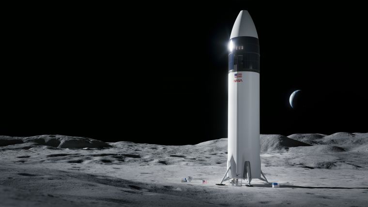
The Artemis III mission is planned to be the first crewed lunar landing of the Artemis programme and the first crewed lunar landing since Apollo 17 in December 1972. During Artemis III, two astronauts will descend to the lunar South Pole on the Human Landing System and spend 6.5 days on the lunar surface, performing at least two moonwalks.
To learn more about the Artemis III mission, see here. To learn more about Intermap’s airborne IFSAR elevation and imagery remote sensing capabilities, see here.

Value staying current with geomatics?
Stay on the map with our expertly curated newsletters.
We provide educational insights, industry updates, and inspiring stories to help you learn, grow, and reach your full potential in your field. Don't miss out - subscribe today and ensure you're always informed, educated, and inspired.
Choose your newsletter(s)


