Orbit GIS Presents Microdrone Mapping
Orbit Geospatial Technologies (Belgium) has presented the Microdrone Aerial Mapping solution at Intergeo.
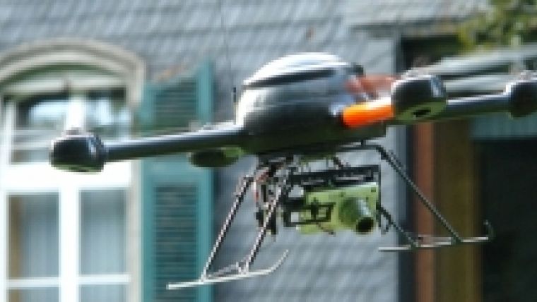
The Microdrone UAV is a small autonomous, ultra light and very stable aireal vehicle that can be GPS controlled to take vertical pictures along a GPS track. These images can be processed to a photogrammetric project for stereo captation and orthoimage production. This solution has been built by Orbit GT.

Value staying current with geomatics?
Stay on the map with our expertly curated newsletters.
We provide educational insights, industry updates, and inspiring stories to help you learn, grow, and reach your full potential in your field. Don't miss out - subscribe today and ensure you're always informed, educated, and inspired.
Choose your newsletter(s)


