Prague: a fitting setting for a mobile mapping innovation
Prague recently served as the testing ground for the integration of Mosaic’s 360-degree camera system with SmartDelta’s mobile mapping software. Known for its rich history and stunning architecture, the city was the ideal location to showcase the fusion of these geospatial technologies. According to Mosaic and SmartDelta, the results demonstrate that this solution has the potential to be a game-changer in a wide range of mobile mapping applications.
The Czech capital boasts a rich history of trailblazing surveyors and astronomers, including renowned figures like Tycho Brahe and Johannes Kepler. Notably, the oldest known maps of the Czech Lands date back to 1518 (map of Bohemia), 1561 (map of Silesia) and 1569 (map of Moravia). Additionally, Prague can claim the honour of publishing the first textbook for surveyors, back in 1617. Its characteristic buildings, picturesque streets and enchanting beauty add an extra dimension to any mapping project, and the collaboration between Mosaic and SmartDelta was no exception.
Dual-purpose cameras
Mosaic’s 360-degree camera systems, including the Mosaic 51 and Mosaic X models, were designed to be standalone units, with internal GPS, built-in GPU and CPU for onboard storage. As an extra bonus, however, these dual-purpose cameras come with an AUX port, allowing them to be integrated with additional sensors or used in tandem with other devices.
Seamlessly integrating sensor systems
The Mosaic X camera in particular boasts unmatched 360-degree imaging capabilities, capturing high-resolution panoramic images with precision and resilience. Moreover, it is seamlessly compatible with other industry-standard sensors such as GNSS, IMU, Lidar and more. SmartDelta’s mobile mapping software plays a vital role in this integration, like a conductor orchestrating data collection and processing from a symphony of sensors.
Prague as the testing ground
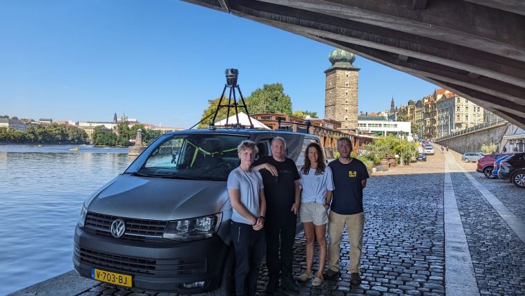
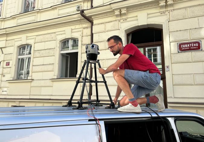
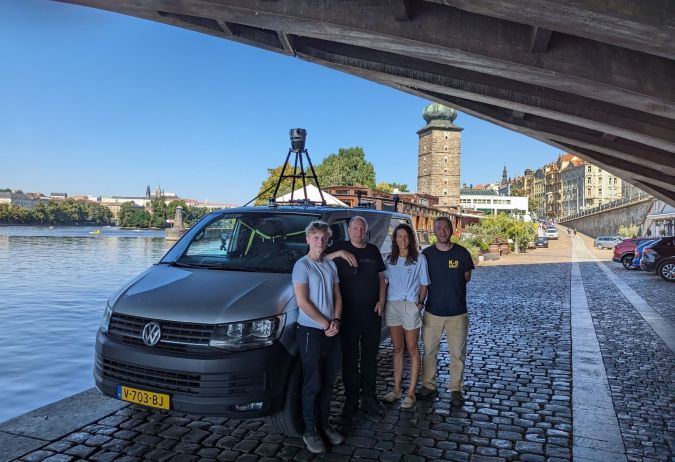
Prague’s diverse urban landscape served as the perfect backdrop for this experiment. The test vehicle was fitted with the Mosaic X camera system as well as a suite of advanced sensors including:
- the Applanix LVX GPS/INS for positioning and orientation to enable precise georeferencing
- the Xenics Gobi 640 thermal camera for thermal imaging
- the Ouster Lidar for high-resolution 3D mapping to produce detailed point cloud data
- the large-range and high-resolution Hesai Lidar sensor, enabling confident navigation in complex environments.
As the integration test unfolded, data from all sensors flowed seamlessly, recorded in real time using SmartDelta’s MMS recorder. The software synchronized the data and ensured precise time stamps and georeferencing. What stood out was the simplicity of the setup. Standardized interfaces supported easy installation, and SmartDelta’s intuitive user interface facilitated the rapid configuration and calibration of sensors. The standalone capability of the Mosaic X camera streamlined the process by eliminating the need for an extra computer during data capture.
In the post-processing stage, SmartDelta’s software integrated the data from multiple sensors, aligning data streams and creating a comprehensive 3D map of the test area. This allowed users to make informed decisions based on accurate and up-to-date information.
Potential for transformative data collection and processing
The integration test demonstrated the ability of SmartDelta’s versatile software to empower the real-time collection, integration and analysis of data from multiple sensors in combination with the Mosaic X camera.
This integrated solution opens up opportunities in a wide range of mobile mapping applications, from transportation, infrastructure inspection and urban planning, to firefighting and environmental monitoring. According to Mosaic and SmartDelta, thanks to easy setup, accurate and stable data collection, and efficient post-processing, this innovation could signal a future in which data collection and processing are not just efficient, but also transformative.

Value staying current with geomatics?
Stay on the map with our expertly curated newsletters.
We provide educational insights, industry updates, and inspiring stories to help you learn, grow, and reach your full potential in your field. Don't miss out - subscribe today and ensure you're always informed, educated, and inspired.
Choose your newsletter(s)


