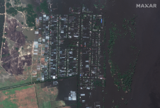
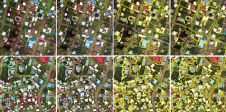
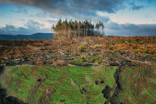
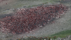
Found 3063 results
Sort by

Remote sensing for land administration

From drones and satellites to airborne-based sensors and Lidar, advances in remote sensing and geospatial information science are driving the development of innovative methods for data acquisition, processing and maintenance....

Read more

Accurate footprints from Antarctica

Remote sensing surveys in Antarctica based on unmanned aerial vehicles (UAVs or ‘drones’) have become a very important approach for a wide range of studies. Mapping free-from-ice-and-snow terrain and monitoring...

Read more