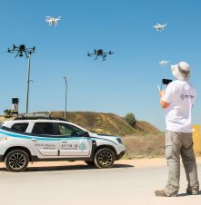
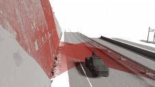
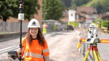
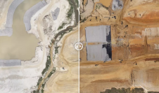
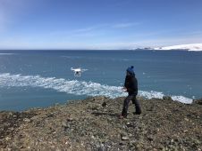
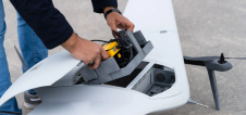
Found 1357 results
Sort by

Ori Cohen

Ori Cohen is the chief technology officer at Kav Medida Group, a leading national service provider of various mapping products. He is an executive technology leader and commercial pilot with...

Read more

Remote sensing for land administration

From drones and satellites to airborne-based sensors and Lidar, advances in remote sensing and geospatial information science are driving the development of innovative methods for data acquisition, processing and maintenance....

Read more

Oleg Vassilev

Oleg Vassilev has been contributing to the Bulgarian Antarctic campaigns since 2017. One of his focuses is drone-based photogrammetry data collection necessary for glaciological and biological observations to study the...

Read more