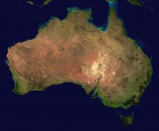
Digital Earth Australia (DEA), an analysis platform that uses satellite data to detect physical changes across Australia in unprecedented detail, has recently introduced new features to ensure its high-quality data products are now even more accessible for individuals, industry and government. By combining historical data from the last 30 years with an ever-growing range of information from new satellites, DEA provides regular updates for the entire country via its NationalMap product. It can be used to identify soil and coastal erosion, crop growth, water quality and changes to cities and regions in greater detail and with more authority than previously...
(read more)