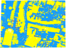
Prototype project launched to develop pan-European datasets
In the Open Maps For Europe 2 (OME2) project, national providers of geospatial information will create a prototype for harmonized large-scale, high-value pan-European open datasets. The project aims to develop...