Found 4019 results
Sort by

How mapping experts built the biggest 3D dataset of Alcatraz Island

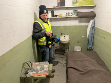
The rugged 22.5-acre site of the notorious US island prison Alcatraz has been digitally captured in a world-leading project involving multiple mapping technologies. With the team camped in the jail’s infamous cells for three weeks during the cold San Francisco winter, this historically, biologically and architecturally important location was recorded in unprecedented 3D detail. We discussed the project with project head Pete Kelsey and team member Dr Jeremy Sofonia. The rugged 22.5-acre site of the notorious US island prison Alcatraz has been digitally captured in a world-leading project involving multiple mapping technologies. With the team camped in the jail’s infamous cells...

Read more

Making Laser Scanning Simple

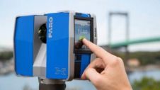
FARO Technologies, headquartered in Lake Mary, USA, is specialised in 3D measurement, imaging and realisation technology. The company develops and markets computer-aided measurement and imaging devices and software. The technology...

Read more

3D geospatial visualization

3D visualization is at the heart of many geospatial data applications. Progress in 3D visualization has drastically reduced barriers to entry for new products based on large datasets, thanks to...

Read more

Terrestrial Laser Scanning

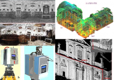
Terrestrial laser scanners are contact-free measuring devices which can collect dense point-clouds of objects. After processing each point is assigned with X, Y, Z coordinates; colour and reflectance value. The...

Read more

Laser Scanning Data Processor

The latest version of Pointools Edit utilises the full power of 64-bit for faster editing and processing of point cloud data, the millions of 3D measurements collected by laser scanning...

Read more

Mobile Laser Scanning Platform

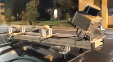
RIEGL Laser Measurement Systems' V-Line laser scanner generation was a main feature in the overview of the company's laser scanner product range at Intergeo. The Austrian company was showing terrestrial,...

Read more

Laser Scanning Software

Z+F UK develop their own brand of laser scanning software called 'Light Form Modeller' or LFM. LFM is known for its array of CAD interfaces that allow users to seamlessly...

Read more

Continuous Mobile Laser Scanning

Combining Terrestrial Laser Scanning, Position and Orientation Systems and GPS receivers into a mobile mapping system enables effective mapping of large and complex terrain. The authors tested a mobile mapping...

Read more